
There are places in Sardinia where silence speaks louder than words, and the Supramonte is one of them. In this immense limestone world, mountains rise like stone cathedrals, carved for centuries by wind and water. Walking here is not just trekking, it feels like stepping into an ancient epic.
Trails snake across rugged ridges that test the legs but reward you with horizons that seem to have no end. One moment you are among holm oaks and wild herbs, the next you are staring into an abyss where a hidden river whispers in the shadows. And then, suddenly, they appear: the cuiles, the old shepherd huts that hold the soul of this land.
Where is the Supramonte?
The Supramonte stretches across the heart of eastern Sardinia, spanning the territories of Dorgali, Baunei, Urzulei, Orgosolo and Oliena. It is a vast karst massif carved into canyons, sinkholes, caves and high plateaus. Dorgali and coastal Cala Gonone are prime gateways, while Oliena and Orgosolo anchor the inland side. The highest peak is Monte Corrasi above Oliena at 1,463 meters, according to Sardinia’s official tourism site Sardegna Turismo.
Driving times are reasonable for a day of exploration. From Olbia it is around 1 hour 30 minutes to Dorgali in normal traffic. From Cagliari, plan approximately 2 hours 30 minutes. Once inside the Supramonte, distances are short but travel is slow due to narrow, winding roads and unpaved tracks.
Highlights you should not miss
Gorropu Gorge 🏞️
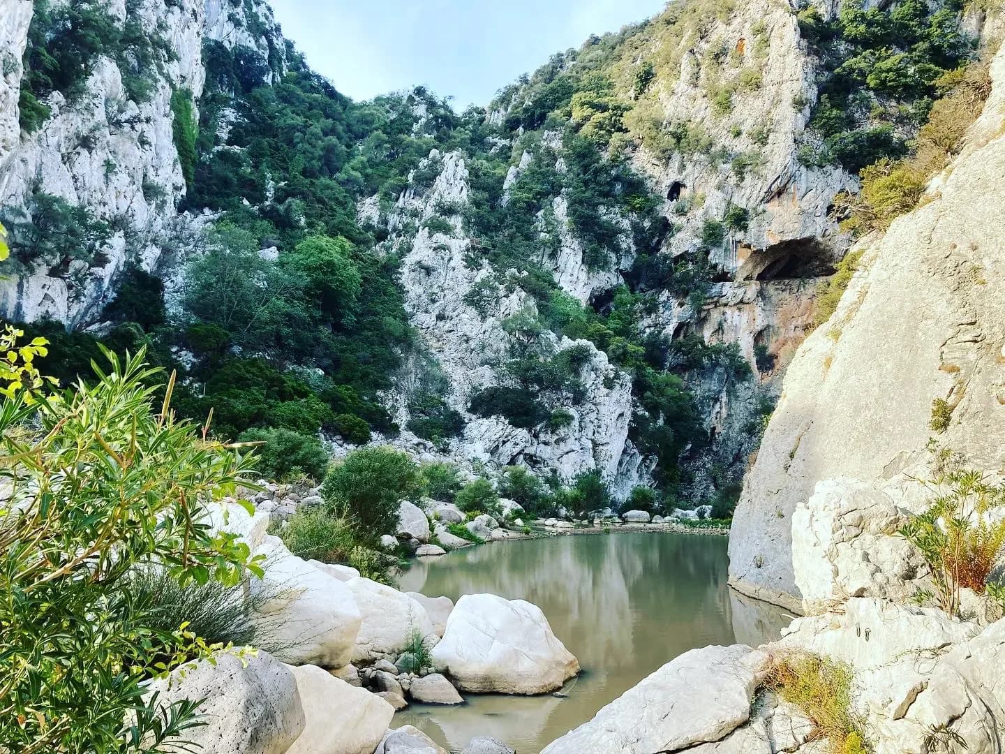
Carved by the Rio Flumineddu, the Gola di Gorropu is one of Europe’s deepest canyons, with limestone walls that soar up to 500 meters and a corridor that narrows to just a few meters in places. The approach hikes from the Genna Silana pass or from the valley floor require stamina, but the reward is an amphitheater of silence where sunlight struggles to reach the bottom and boulders gleam like marble. This is the Supramonte at its most dramatic.
Tiscali’s hidden village 🕳️
On the border between Dorgali and Oliena, Monte Tiscali hides a Nuragic settlement inside a vast doline, a collapsed cave that shelters ancient stone dwellings from wind and view. The circular hike is a favorite for hikers with a taste for archaeology and panoramas. The final reveal, as you step into the sinkhole and see the ruins scattered under towering rock, is unforgettable.
Springs and underground rivers 💧
The Supramonte breathes water. Streams vanish into limestone and reappear as crystal springs. The most famous is Su Gologone, a deep karst resurgence that feeds the Cedrino River. In times of high flow it is a turquoise churn at the base of a cliff, a reminder of the underground labyrinth beneath your feet. Learn more via Sardegna Turismo’s Su Gologone overview.
Cuiles and shepherd heritage 🔥
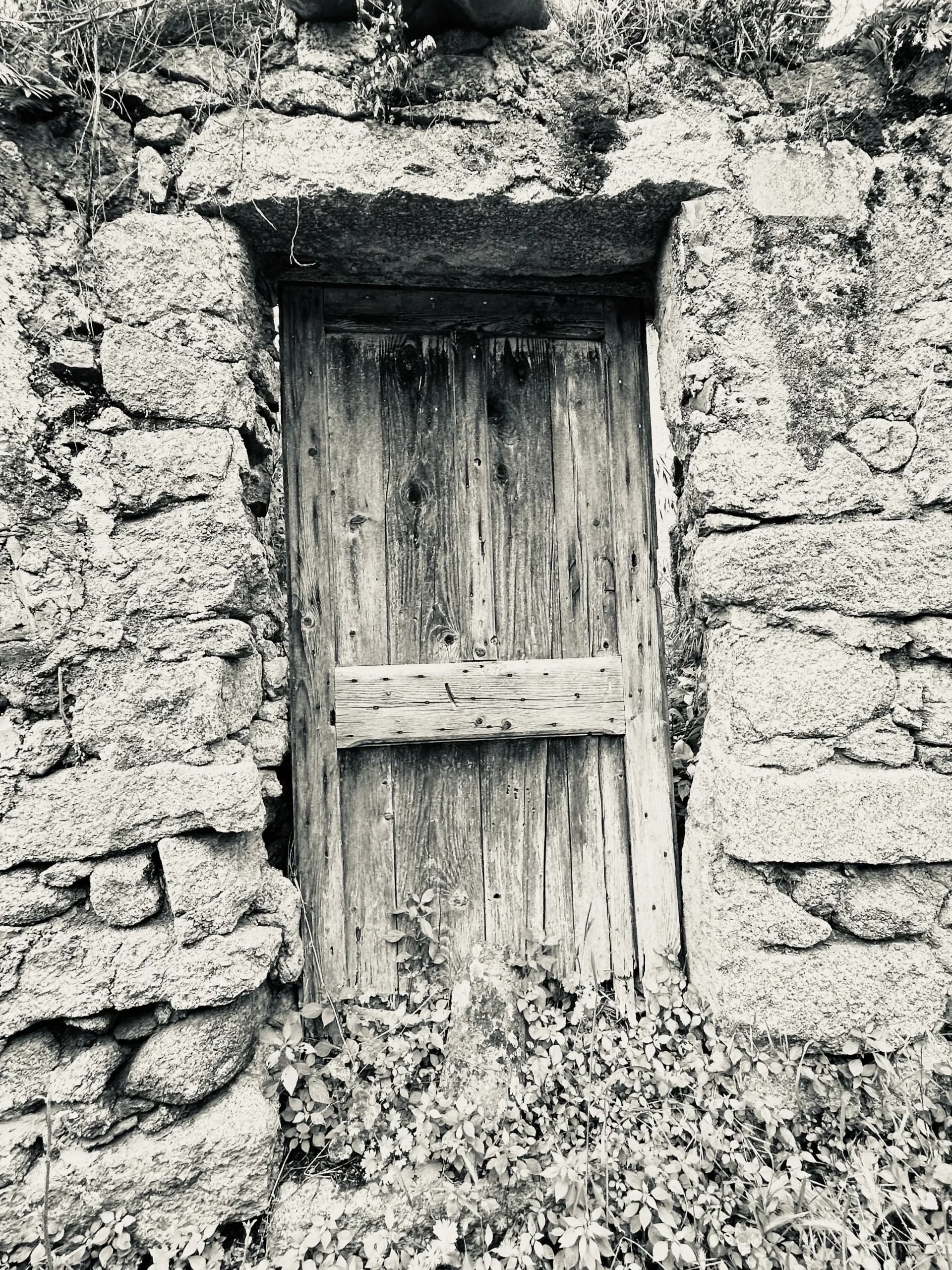
Scattered across ridges and clearings, cuiles are traditional shelters built of stone and juniper, with conical roofs blackened by smoke. Step inside and you sense cold nights, transhumant flocks, and fires that warmed body and spirit. Many huts have been restored and mark classic routes across the Supramonte. They are powerful reminders that this wild landscape has always been lived in.
Ridge walks and eagle skies 🦅
On the high dorsali, the air tastes primeval and the outlook runs from the Barbagia mountains to the Gulf of Orosei. Keep an eye out for golden eagles and griffon vultures riding thermals along the cliffs. Signature ridge itineraries range from the Monte Corrasi circuit to balcony paths above the Codula di Luna canyon.
The wild coast: Cala Luna and beyond 🌊
The Supramonte reaches the sea along the Gulf of Orosei, where cliffs drop to small coves of white pebbles and neon water. Hike the scenic path from Cala Fuili to Cala Luna, or venture south toward Baunei to reach the iconic arch of Cala Goloritzé. In peak season, a daily quota and paid reservation are enforced for Goloritzé by the municipality of Baunei, as noted by the local tourism site Visit Baunei. Many visitors pair a hike with a private boat transfer for a relaxed return.
Planning your Supramonte adventure
Best time to go
- Spring, from March to early June, brings wildflowers, flowing springs and comfortable temperatures.
- Autumn, from late September to November, offers clear air and quiet trails.
- Summer is beautiful but hot. Start at dawn, carry ample water and consider shorter canyon walks or coastal hikes with a boat pickup.
- Winter can be crisp on the ridges and damp in gorges. Check forecast and daylight.
Trail difficulty and safety
- Expect rocky footing, occasional scrambles and unmarked forkings. GPS tracks help but do not replace local knowledge.
- Phone signal is patchy. Tell someone your plan and timing.
- Water sources are seasonal. Carry more than you think you need.
- Weather shifts quickly at altitude. Pack layers and a light rain shell.
Hire a guide for the best experience ✅
For many visitors, a professional hiking guide unlocks the Supramonte. You gain route choice matched to your fitness, safe navigation in karst terrain, and insight into shepherd traditions, flora and archaeology. Private guiding also opens doors to special touches, from a fireside lunch at a cuile to sunset ridge picnics away from crowds.
What to pack
- Hiking shoes with good grip
- 2 liters of water per person in warm months
- Sun protection, hat and light layers
- Snacks or a packed lunch
- Headlamp for caves and early starts
- Paper map or offline GPS, plus a small first aid kit
Refined ways to enjoy the wild
The Supramonte can be rugged and still deeply comfortable. Consider:
- Private 4x4 support to reach remote trailheads without backtracking
- Shepherd-style lunches featuring pecorino, pane carasau and local charcuterie under the shade of juniper
- Private boat charters from Cala Gonone to Cala Luna and neighboring coves, with snorkeling gear onboard
- Winery visits in the Dorgali area to taste elegant Cannonau after your hike
- Boutique stays in Dorgali, Cala Gonone or Oliena, ideal bases for early starts and unhurried evenings
Signature hikes and how long they take
- Gorropu from Genna Silana: 4 to 6 hours round trip depending on pace and exploration inside the gorge
- Gorropu from the valley floor: 5 to 7 hours round trip with more elevation gain on the return
- Tiscali loop from Valle di Lanaittu: 3.5 to 5 hours with short scrambles near the doline
- Monte Corrasi circuit: 4 to 6 hours on airy limestone ridges with sweeping views
- Cala Fuili to Cala Luna: 2.5 to 4 hours one way along a scenic cliff path, boat return optional
Responsible travel in the Supramonte
- Follow cairns and existing paths to protect fragile karst vegetation.
- Do not disturb or remove archaeological remains, including stones from cuiles or the Tiscali site.
- Pack out all waste. In summer, avoid open flames and respect fire restrictions.
- Wildlife is shy. Observe raptors from a distance and keep noise low in the canyons.
Getting there and around
Dorgali and Cala Gonone are the most convenient bases for the northern Supramonte, with trailheads for Tiscali, Gorropu and the Cala Luna path within short drives. Oliena provides quick access to Monte Corrasi and the Lanaittu valley. For the southern sectors and Cala Goloritzé trailheads, use Baunei and Urzulei. A compact SUV is helpful for rough access roads, and a local driver-guide is a stress-free option if you prefer not to navigate gravel tracks.
Why the Supramonte stays with you
Every hike here is both struggle and gift. Legs tremble, breath shortens, yet the spirit soars. Step by step you realize you are not conquering anything. The Supramonte is quietly conquering you, with stone, sky and a wild heartbeat that feels timeless.