
Carloforte is the only town on San Pietro island, off Sardinia's south-west coast, founded in 1738 by Ligurian coral fishers who had lived for two centuries on Tabarka, an islet off Tunisia. Its 5,887 residents still speak Tabarchino, a Genoese dialect protected by Sardinian regional law, and the town lives by the sea: a tuna trap, a tuna festival and a ferry that takes 40 minutes from Portovesme. Here is how to get there in winter 2026 to 2027 and what to see.
Quick facts
Population: 5,887 residents on 1 January 2025 (ISTAT); Carloforte is the island's only town.
Founded: 1738, with permission from King Carlo Emanuele III, who gave the town its name.
Language: Tabarchino, a Ligurian (Genoese) variety, named in Sardinia's language law L.R. 22/2018.
Ferries: Delcomar, 40 minutes from Portovesme and 30 minutes from Calasetta.
Winter fare 2026 to 2027: €5.00 one way for an adult from Portovesme, plus a €1.50 landing fee from November to March.
Girotonno 2026: 29 May to 2 June, the 23rd edition; 2027 dates not yet announced.
From Tabarka to Carloforte: a town with a founding date
The story starts in Genoa. In the 1540s Ligurian coral fishers settled on Tabarka, an islet off the Tunisian coast, according to the linguist Fiorenzo Toso. Many of them came from Pegli, now a district of Genoa. Two centuries later the coral banks were running down, and in 1738 King Carlo Emanuele III of Savoy allowed part of the community to settle the empty island of San Pietro. The new town took his name: Carloforte.
A second group of Tabarchini founded Calasetta, on neighbouring Sant'Antioco, in 1770. On the Carloforte seafront a marble group of three statues from 1786 still honours the king. SardegnaTurismo, the regional tourism portal, notes that the island was known to the Phoenicians in the 8th century BC, long before the Ligurians arrived.
Tabarchino: the Ligurian dialect you hear in the street
Tabarchino is a variety of Genoese that the settlers brought from Tabarka and kept for almost three centuries. Toso shows that the settlers kept in touch with Genoa, so their speech moved with the Genoese of the city while keeping traits of the original Riviera dialect. Locals call their town U Pàize.
Sardinia protects it by law. Article 2 of regional law 22 of 3 July 2018 on regional language policy lists Tabarchino alongside Sardinian, the Catalan of Alghero, Gallurese and Sassarese as part of the Region's intangible heritage, and provides promotion measures for it.
Feast of San Pietro: 29 June, the saint venerated by the tonnarotti, the tuna fishermen.
Sagra del cus cus tabarkino: 25 April, the couscous festival.
Torre San Vittorio: an old tower that became an astronomical observatory in 1898 and a multimedia museum in 2016.
The tonnara: tuna as the island's living tradition
Carloforte still fishes Atlantic bluefin tuna with a tonnara, a fixed trap of nets set close to shore. SardegnaTurismo's page on Cala Lunga, near La Punta at the island's northern tip, notes that the tuna nets lie a few hundred metres offshore and that the catch is exported, with Japan a major buyer. Old wooden tuna boats lie on the shore beside the tonnara at La Punta.
The 2026 season, which had ended by early summer, was weaker than hoped: the operators of the Isola Piana trap told the regional daily L'Unione Sarda that fewer tuna had reached the coast than in previous years.
Girotonno: the tuna festival
The Girotonno is the island's big food event. The 23rd edition ran from Friday 29 May to Tuesday 2 June 2026, with a pre-event from 23 May. Its centrepiece, the World Tuna Competition, brought chefs from eight countries: Australia, El Salvador, Finland, Japan, Italy, Morocco, Syria and Spain. Finland won, with chef Jouni Kuru, ahead of Italy and Japan, askanews reported on 2 June 2026.
The 2027 dates had not been announced when we checked on 2 November 2026. The festival usually falls in late May and early June, around Italy's 2 June holiday, so book ferries and rooms early if you plan to go.
Ferries to Carloforte: Portovesme or Calasetta
All scheduled ferries are run by Delcomar. The current winter timetables are valid from 1 September 2026 to 30 June 2027.
Portovesme to Carloforte: 40 minutes. 15 departures each way on weekdays and 13 on Sundays and holidays. The first boat leaves Carloforte at 05:05; the last leaves Portovesme at 22:30.
Calasetta to Carloforte: 30 minutes, from the tip of Sant'Antioco. 15 departures each way every day. After 21:00 the night boat Eolo keeps running roughly every 90 minutes until morning. Two daytime runs are reserved for dangerous goods and carry at most 25 passengers.
Fares, low season 1 October to 31 May (Delcomar fare table, checked 2 November 2026):
Portovesme route: adult €5.00 one way or €9.50 return; child aged 4 to 11 €4.20; car up to 4 m €12.80 one way.
Calasetta route: adult €4.40 one way or €8.30 return; car up to 4 m €10.40 one way.
Summer fares, 1 June to 30 September, are slightly higher: €5.40 for an adult and €13.20 for a small car on the Portovesme route.
Children under 4 travel free.
On top of the ticket, the Comune di Carloforte charges a landing fee per passenger, collected by Delcomar: €1.50 from November to March, €2.50 in April, May and October, €4.00 in June, July and September and €5.00 in August. Residents and some other groups are exempt. In rough weather, crossings are cancelled when waves exceed 3 metres, and Portovesme traffic can be diverted to Calasetta, so check the Delcomar website on the day.
Getting there from Cagliari airport
By car to Portovesme: about 80 km, roughly 1 hour 30 minutes on our routing. This is the quickest way to the island.
By car to Calasetta: about 93 km, nearly 2 hours, via the causeway to Sant'Antioco.
By bus: ARST line 852 leaves Cagliari bus station at 06:05 and reaches Portovesme at 07:53, with a return run in the afternoon. There are very few direct buses, so check the date on the ARST timetable. On the island, ARST line 824 serves Carloforte.
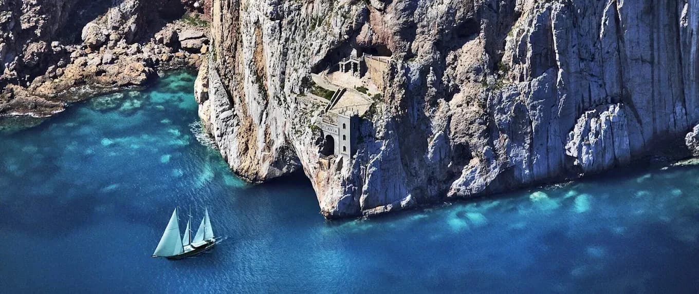
Road distances and times are routing estimates on OpenStreetMap data. If you also plan the mining coast, our Porto Flavia tickets and tours guide covers the port carved into the cliff at Masua, on the mainland north of Portovesme.
Capo Sandalo, the LIPU reserve and Eleonora's falcon
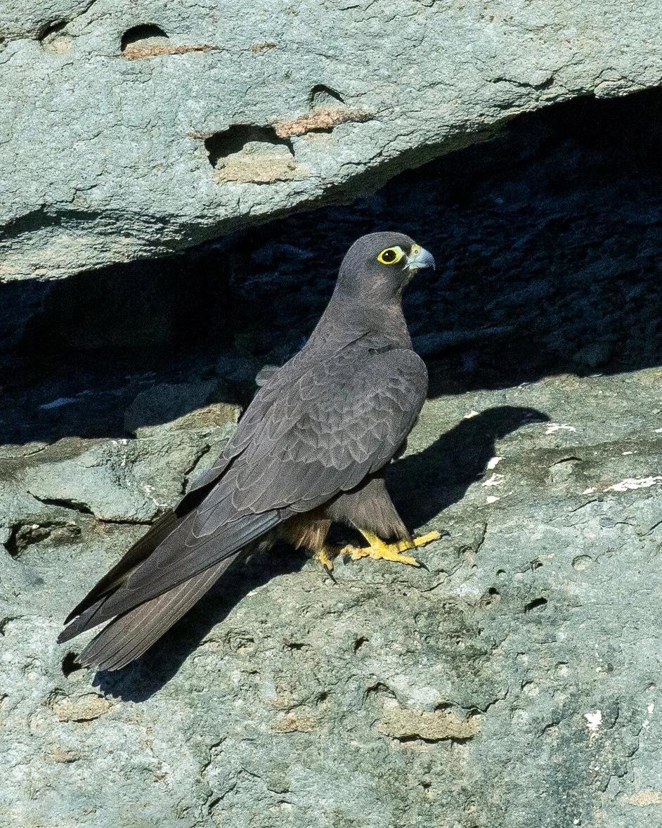
The west of the island is wild. Capo Sandalo, about 12 km from the harbour by road, carries what SardegnaTurismo calls Italy's westernmost 19th-century lighthouse. Just north, the cove of Cala Fico is a protected oasis run by LIPU, the Italian bird protection league, for Eleonora's falcon. The bird is named after Eleonora d'Arborea, the medieval Sardinian ruler.
The official Italian tourism portal gives the LIPU reserve at Capo Sandalo 236 hectares, with a visitor centre and hiking trails. Nesting birds can be seen on the cliffs from April to November, and September and October are the best months, when young falcons hunt migrating songbirds over the sea. Peregrine falcons and Audouin's gulls also live on the island's cliffs, and flamingos and avocets feed in the salt pans near town.
Le Colonne, La Caletta and the beaches
Le Colonne, two volcanic sea stacks on the south coast, are the symbol of Carloforte. SardegnaTurismo says both were 16 metres high until 2010 and that after the storms of November 2013 only the base of one remains. They are about 7 km from the port by road.
La Caletta, on the west coast about 8.5 km from the harbour along the SP102, is a sandy bay backed by dunes and the nearest beach to Capo Sandalo. SardegnaTurismo notes that the western side of San Pietro is the sandier one; elsewhere the coast is mostly rock, with coves such as Cala Lunga and the natural pool of La Conca.
When to go
For swimming, June and September are the sweet spot: at Capo Frasca, the nearest WMO climate-normals station, about 70 km up the west coast, average highs are 25.6°C in June and 26.2°C in September, against 29.2°C in August. July averages under one rainy day. October is still mild at 22.8°C. November is the wettest month, with 92 mm of rain over about nine days.
For month-by-month detail on this coast, see our Sulcis-Iglesiente weather guide.
Local tips: what most guides get wrong
The ticket is not the whole price. The Carloforte landing fee is added to every passenger ticket and rises to €5.00 in August.
Both Colonne are no longer standing. Many photos predate the November 2013 storm that left only the base of one stack.
Driving into the centre can cost you. Carloforte is on the Ministry of Infrastructure's list of towns authorised to run camera-controlled restricted traffic zones (ZTL), updated on 27 January 2026, as reported by the motoring site SicurAUTO. We could not find the current perimeter and hours, so park by the harbour and walk.
Do not take sand or shells home. Sardinian regional law 16 of 2017 fines removing them from €500 to €3,000.
For the mainland side of the trip, see our two-day route through Porto Flavia and Sardinia's old mines.
If you are fitting San Pietro into a longer trip, a company itinerary guide can help with timing, although it covers Sardinia more broadly and does not cover Carloforte. Rental12, a holiday-rental company in Olbia that shares an owner with Sardinia Blog, sets out 3 to 14 day Sardinia plans, mostly from Olbia, in Sardinia Itineraries: 3 to 14 Day Plans from Olbia (2026). It is a company guide, not independent research.
Sources: SardegnaTurismo: Carloforte · Fiorenzo Toso, Tabarchini e tabarchino in Tunisia · L.R. 22/2018 text (Université Laval) · Delcomar: Carloforte to Portovesme timetable · Delcomar: Carloforte to Calasetta timetable · Delcomar: fares · SardegnaTurismo: Girotonno · askanews: Girotonno 2026 result · SardegnaTurismo: Cala Fico · SardegnaTurismo: Le Colonne
Photo credits: Carloforte harbour front (trolvag, CC BY-SA 3.0, via Wikimedia Commons); path to the Capo Sandalo lighthouse (Ugeorge, CC BY-SA 4.0, via Wikimedia Commons); Le Colonne sea stacks near La Bobba in July 2012, before the November 2013 storm (trolvag, CC BY-SA 3.0, via Wikimedia Commons); Eleonora's falcon at Carloforte, May 2022 (Francesco Veronesi, CC BY-SA 2.0, via Wikimedia Commons); old wooden tuna boats at the tonnara, La Punta (trolvag, CC BY-SA 3.0, via Wikimedia Commons). Fact sheet and chart: Sardinia Blog, from the sources listed above.