
Last updated: November 13, 2026.
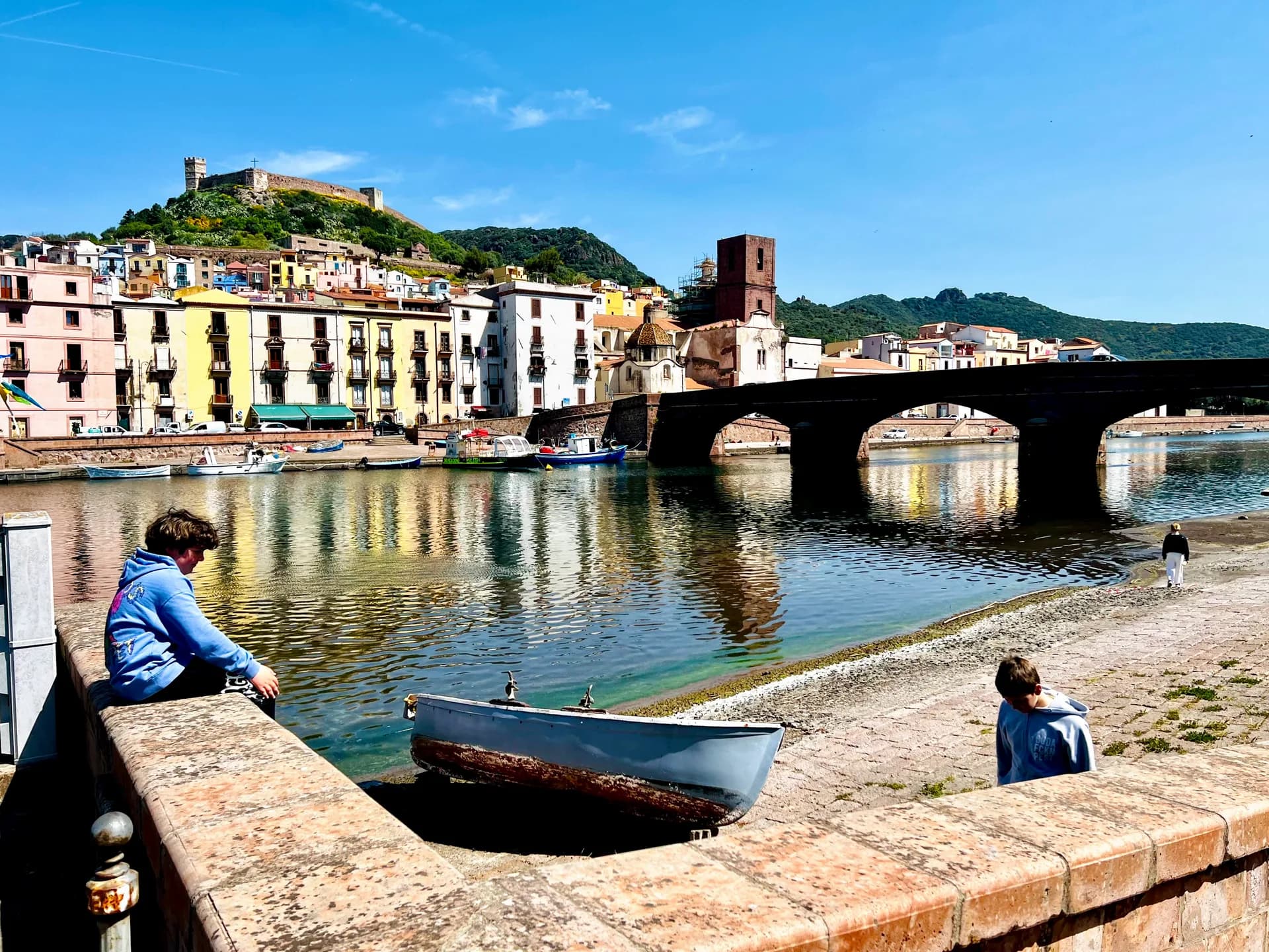
Some roads simply connect places. The coastal road from Alghero to Bosa tells a story. Within minutes of leaving the Catalan walls of Alghero, the view opens onto headlands, turquoise water and quiet pull-ins. Every bend shows something new: cliffs dropping into the sea, small coves between the rocks and a horizon that feels empty. Then the pastel houses of Bosa appear on the Temo river, under the Malaspina castle.
This is our photo diary of the drive, with the stops worth making. For full practical details (road conditions, closures, buses), see our companion guide to the Alghero to Bosa coastal road.
The route at a glance
Distance: 45 to 50 km. The Touring Club Italiano gives just under 45 km, Italy's national tourism portal about 50 km.
Road numbers: SP105 from Alghero, becoming the SP49 on the Bosa side.
Time: about an hour without stops. Plan 2 to 4 hours if you want photos and a swim.
Best direction for photos: southbound from Alghero, the sea is on your right, on the same side as most pull-ins.
Who will love it: photographers, couples at golden hour, convertible drivers, cyclists and motorcyclists.
What the road looks like
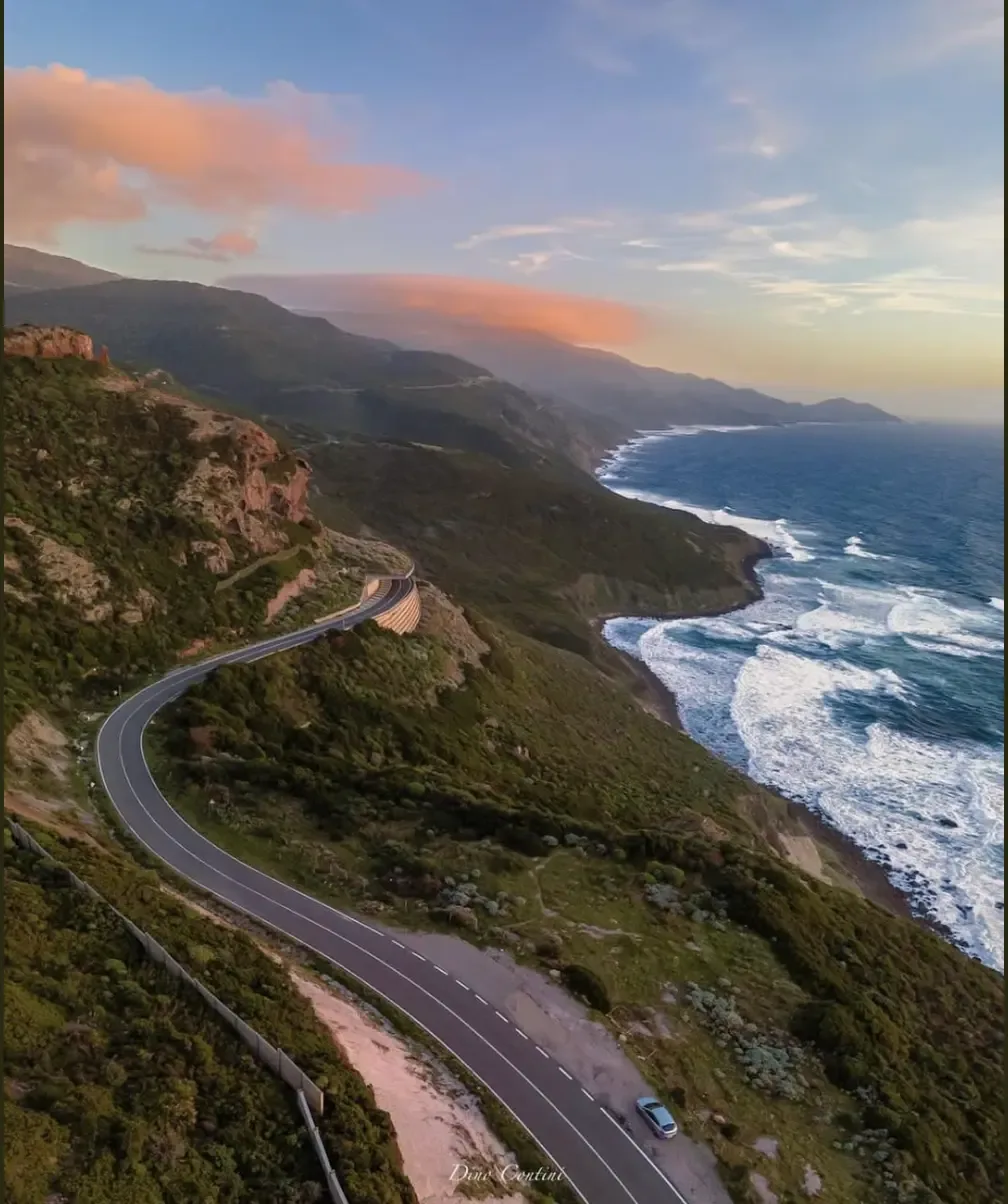
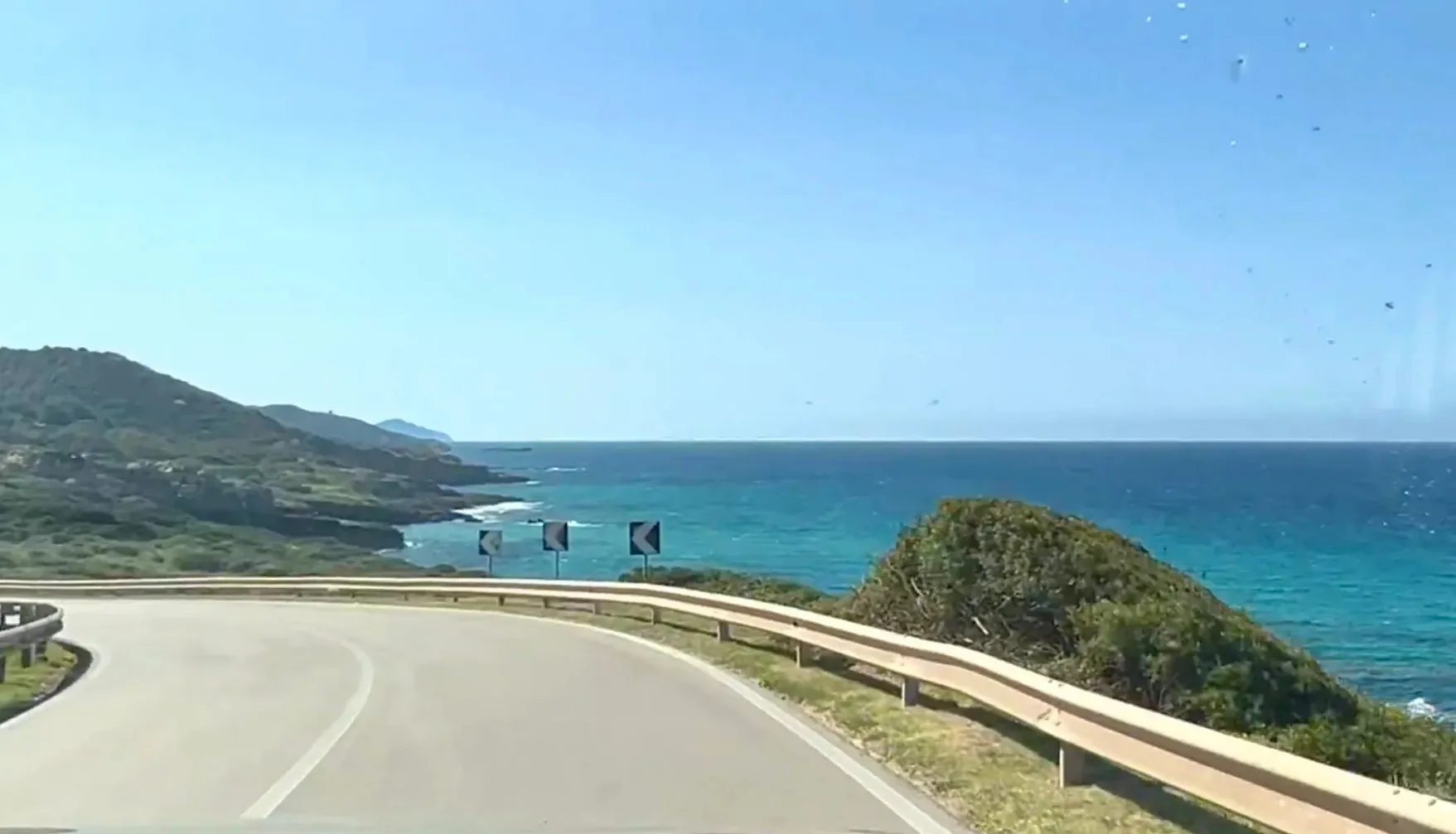
Most of the drive is a two-lane road cut into the hillside, with a metal guardrail between you and the sea. The water below changes from deep blue to turquoise wherever there is sand on the bottom. On the land side, Mediterranean scrub covers the slopes, silver-green in summer and bright with flowers in spring. In places you can see the road ahead curling around the next headland, which is exactly the shot everyone wants.
There are almost no buildings along the way. No resorts, no petrol stations, just the occasional watchtower and a few pull-ins. Fill up in Alghero or Bosa before you set off.
Best photo stops along the way
The first bends south of Alghero
The first viewpoints come soon after Alghero, as the road climbs above the beach of La Speranza. Look back north: on a clear day the headland of Capo Caccia sits on the horizon across the bay.
Capo Marargiu and the griffon vultures
The middle stretch is known as the coast of the griffons. Around Capo Marargiu, griffon vultures, golden eagles and peregrine falcons nest on the cliffs, and Italia.it calls the griffons here the only native colony in Italy. Pull into a viewpoint and watch the sky for a few minutes; mornings and late afternoons are best. Keep drones grounded near the cliffs.
Torre Argentina
About 7 km before Bosa, a watchtower more than five centuries old stands on a headland above rock platforms and natural pools (Sardegna Turismo). It is one of the best places to stop for the light on the white trachyte rock.
Coves for a swim
Cala Managu: a sheltered cove near Capo Marargiu, reached by a short, rough path from the road. Wear proper shoes and avoid it after rain.
S'Abba Druche: a string of small coves with clear, shallow water about 4 km from Bosa.
Cane Malu: a natural rock pool beside Bosa Marina, for calm days only.
Bosa Marina: a long beach with an Aragonese tower and easier parking when you are ready to stop driving (Sardegna Turismo).
Many coves have no lifeguards. Swim only in calm sea; when the mistral blows, this coast takes the full force of the wind.
A perfect day on the Alghero to Bosa drive
Morning in Alghero: coffee on the bastions, then head south along the seafront to pick up the SP105 while the road is quiet.
Photo stops: use the signed pull-ins. Keep all four wheels off the road and never stop on a blind bend.
Midday swim: Cala Managu or S'Abba Druche. Bring water shoes for the rocks.
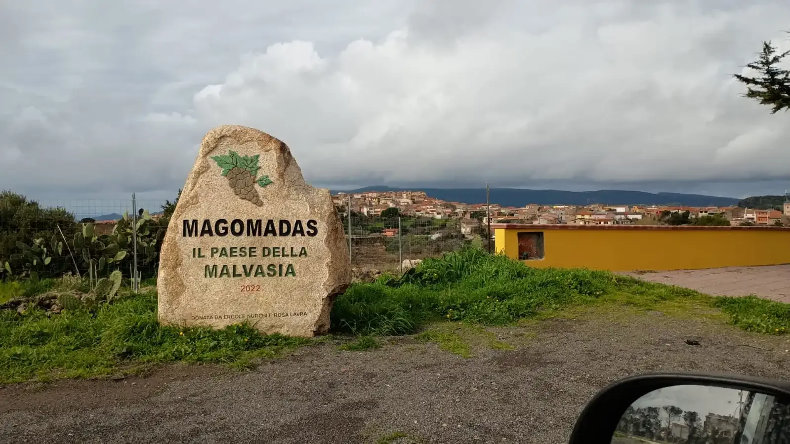
Lunch in Bosa: the lanes of Sa Costa and the riverfront. Try a glass of Malvasia di Bosa, the local DOC wine from the hills around Magomadas.
Castle and river: climb to the 12th-century Serravalle (Malaspina) castle for views over the river and the coast (Sardegna Turismo). Check opening times before you go.
Golden hour: drive back at sunset, when the cliffs turn copper and pink, or stay the night in Bosa.
Practical tips
Drive carefully: the road is narrow and full of bends, and you will meet cyclists and motorbikes, especially at weekends.
Check for closures after storms: a landslide closed the SP49 in November 2022 (L'Unione Sarda), and the Province of Oristano has announced repairs to the worn surface on its stretch (L'Unione Sarda).
Best seasons: April to June for flowers and quiet roads; September and October for warm sea and softer light.
Parking: use marked pull-ins and do not park on dry grass in summer.
Photography: a polarizing filter cuts the glare off the sea. Many of our photos were taken from the passenger seat; let someone else drive.
Bosa at first sight
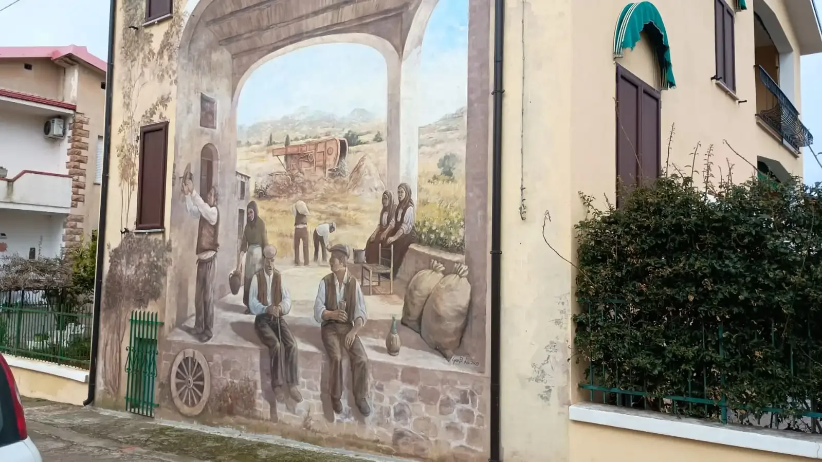
Pastel houses climb the hill above the Temo, the only navigable river in Sardinia according to Sardegna Turismo. The old tanneries line the bank, and the castle watches from the top. Walk the lanes, taste the Malvasia and, if you have time, cross to Bosa Marina for sunset.
Sources
Touring Club Italiano; Italia.it; Sardegna Turismo (Bosa, Bosa Marina, Torre Argentina, Serravalle castle); L'Unione Sarda (November 26, 2022, and repairs on the Bosa to Alghero road). Photos: Sardinia Blog and Olga Vasileva. Last checked November 13, 2026.
Rental12, a holiday-rental company in Olbia that shares an owner with Sardinia Blog, lets its own homes in Olbia and Golfo Aranci.